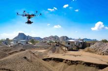
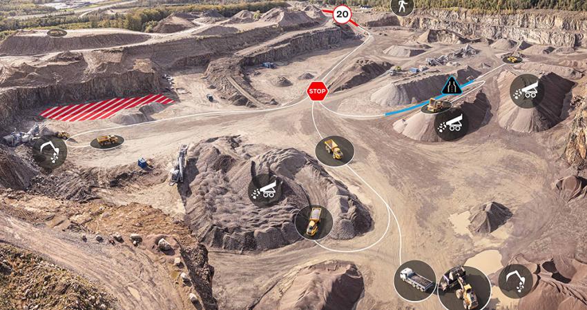
Airwave has made enhancements to its mining and quarrying solution which aims to use machine learning and artificial intelligence to help mines and quarries digitise their business and improve operations with visualisation, collaboration, analysis and reporting on drone-captured data. The updated product is designed with the intention of providing improved capabilities for teams to collaborate in real-time to manage, process, view and analyse site data.
This aircraft is said to provide clients with faster and more accurate data acquisition without needing to place ground control points. The company will support the new DJI M200 industrial quality drone as well continuing to help clients in the same way for its DJI P4P innovation.
Airwave cloud enhancements, according to the company, include an increase in upload speed, rapid processing times and status tracking. It also hosts geo-reference site information such as ground-level photos and annotation management to help boost team efficiency.
The system features stockpile calculation reporting options to assist users in measuring stockpiles in real-time and generating reports. It also provides an automated service stockpile inventory data as reports and files that can be imported into financial systems. Additionally, the solution supports the use of site-specific local coordinates with the intention of saving time and streamlining workflows through allowing clients to overlay data with other geospatial data.
Yvonne Wassenaar, CEO of Airware, said: “Airware continues to partner with industry leaders to deliver value-based innovation that drives operational efficiency, lower costs and improved safety. Our enterprise platform and advanced Mining and Quarrying solution has delivered proven competitive advantage to our customers.”


