A number of new quarrying and road construction machine control and onsite management solutions have come onto the market in early 2016, writes Guy Woodford.
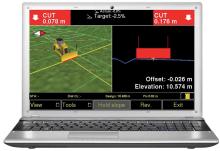
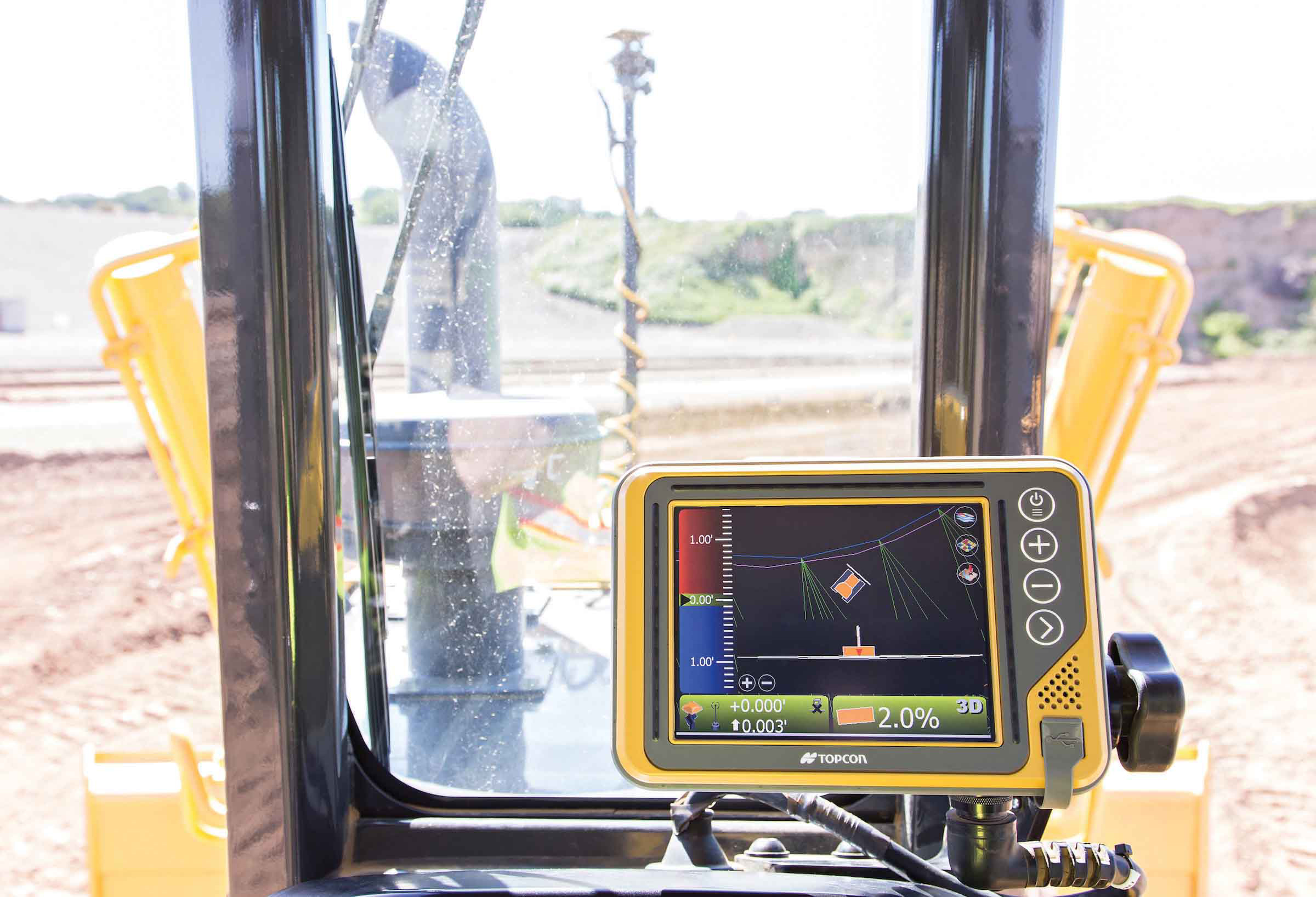
The system expands the Topcon dozer indicate product line by offering single GNSS plus single or dual axis slope sensor configurations for claimed complete control of elevation and slope.
“The i-53 features the Topcon GX-55 control box with audible grade reference alarms and visual LED lights, as well as the new MC-i4 GNSS receiver,” said Kris Maas, director of construction product management. “With safety and work efficiency in mind, the bright screen and grade guidance features deliver the highest quality graphical experience for modern machine control.
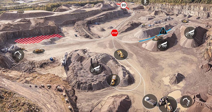
“The communication of the machine is handled by the innovative MC-i4 GNSS receiver that allows various radio configurations in one receiver for the Sitelink3D site management solution and/or network corrections,” said Maas.
“Topcon continually strives to provide the greatest value indicate systems in the market.
Now by utilising slope sensors in an indicate system we are able to greatly improve the blade’s cutting edge position and angle which advances the grading capabilities of the dozer,” Maas added. Additional features include integrated virus protection and easy access USB ports for saving and downloading job files.
Meanwhile,
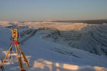
The Leica LS15 completes all steps of a project, streamlining the traditionally demanding, often tedious, tasks associated with the levelling process.
Claimed industry-leading 0.2mm accuracy is achieved by aiming at the target via the colour touch display and pressing the measuring button.
Such features as an electronic bubble, tilt checks prior to each measurement and autofocus help to ease measuring professionals’ fatigue over the course of a day’s work, significantly reducing the risk of human-based errors.
“Intensive levelling tasks can often become tedious in duration, increasing the risk of costly mistakes,” said Falko Henning, product manager for digital levels at Leica Geosystems. “By simplifying the process and thereby speeding up the work, measurement professionals can enjoy the experience of levelling while receiving more accurate results.”
The Leica LS15 is said by Leica Geosystems to be the only level on the market equipped with a camera, and enables target staffs to be sighted faster. Users need only to locate the staff on the camera’s touch display and to press the measuring button to automatically record the staff reading and measurement values.
With the digital level’s USB and Bluetooth interface to enable fast and easy data transfer, Leica Infinity software suite processes complex levelling data back in the office. Users can combine tables with graphics or cross-check important project information in one program window, creating easy access to all project data, results and deliverables.
Leica Geosystems has also released the LS10 digital level offering standard functionalities.


