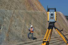
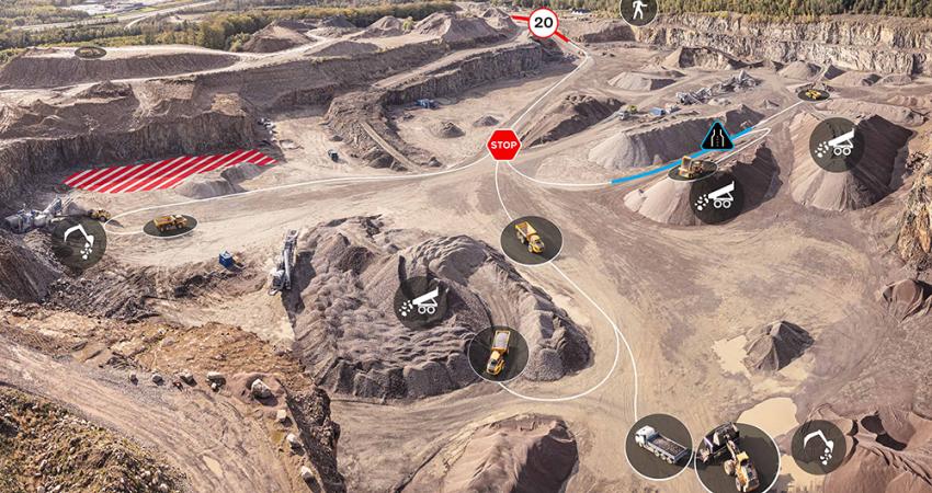
The company says that the HxM Surveyor suite comprises HxM Surveyor Office and HxM Surveyor Adjust, tools that work in cohesion to streamline collection, adjustment, optimisation, validation, and manipulation of all data dealt with by surveyors.
“Used together, Adjust and Office offer a complete, integrated software solution, covering any survey job, no matter the scale,” says Hexagon Mining.
“Adjust uses the rigorous Least Squares Method to simultaneously adjust all observations and produce a single 1D/2D/3D best-fit solution, whether for a single-loop or a complex network of interconnecting traverses. The method ensures that more reliable measurements are given more influence in the adjustment.”
Least Squares Method is not a new procedure, but the ability of Adjust to harness modern computing power is said to help “make short work of what would have been very lengthy calculations.”
Data can be imported into Adjust from almost any format, with converters available for a large variety of common data formats.
Office is a desktop survey and design program developed on the IntelliCAD engine.
The customisable user interface and commands allow users to view and edit coordinate and traverse data, and see any changes reflected instantly in both the drawing and the database.
“Digital Terrain Models and surface models are created in a few simple steps, and are easily manipulated by editing points, or using breaklines and boundaries. Triangulated Irregular Networks (TIN), grids, and triangulated grids can be visualised directly using powerful full 3D rendering,” says Hexagon Mining.
“All files are stored in the industry standard .dwg file format. Volume calculations between multiple surfaces, or a single surface and a specific elevation, are quick and easy. Office also offers a great road design wizard which makes short work of creating a 3D road based upon a horizontal and vertical alignment.”


