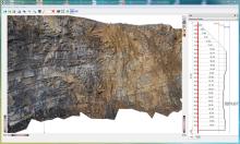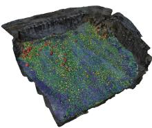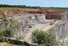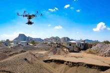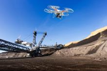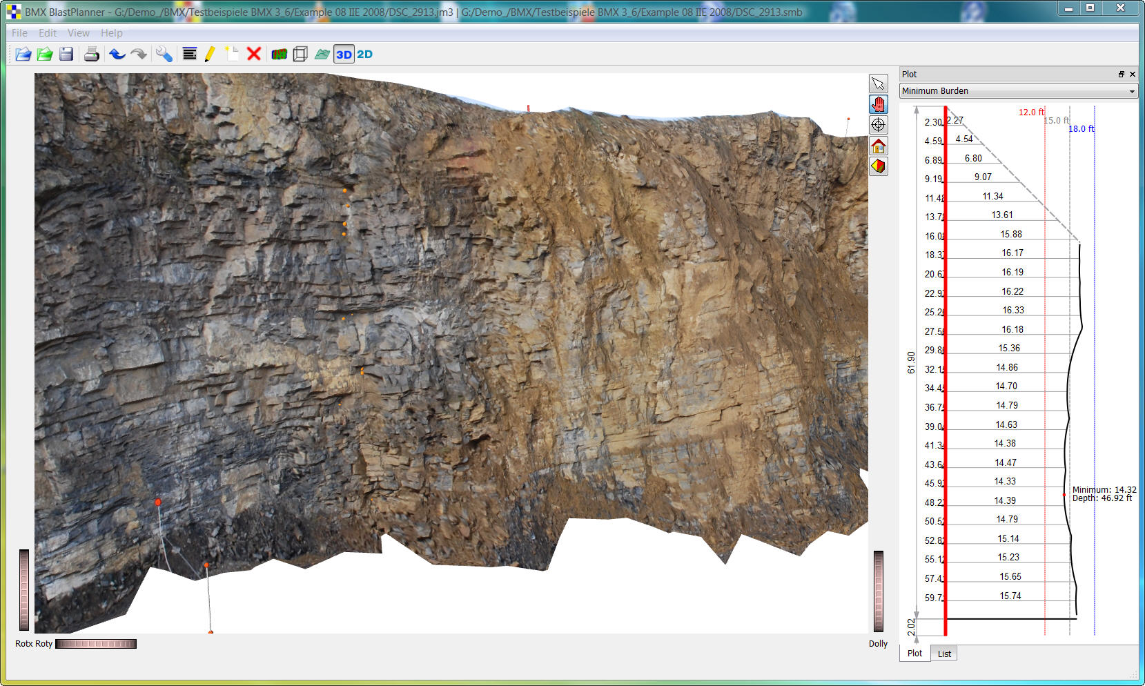
The new BlastMetriX UAV program from 3GSM allows quarries and mining operations to take advantage of unmanned aerial vehicle (UAV) technology to quickly, safely and accurately capture three-dimensional face profiles for enhanced visualisation of the blast area. The flexible system is the right tool for surveying large blast sites and does not require the use of propriety UAVs. This allows operations to use existing drones in their fleet or locally source drone equipment to take surveying images.
The system requires only the use of aerial targets or the standard BlastMetriX 3D targets as reference points. The low-flying UAV captures multiple data-rich overlapping images to generate hundreds of thousands of data points for accurately characterising typography of the surveyed area and creating a three-dimensional profile of the face to ensure blast safety and performance.
New users can order a standalone BlastMetriX UAV system that includes all necessary software for UAV surveying and blast design. Alternatively, existing BlastMetriX 3D users only require a simple software upgrade to quickly integrate the usage of UAVs into the surveying capability. It gives operations the flexibility to conduct surveys using either aerial multi-photo images captured by the UAV or terrestrial images from a calibrated digital single-lens reflex (DSLR) camera. This enables surveying operations to continue regardless of no-fly-zone restrictions or inclement weather.

