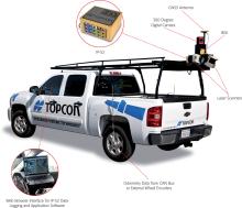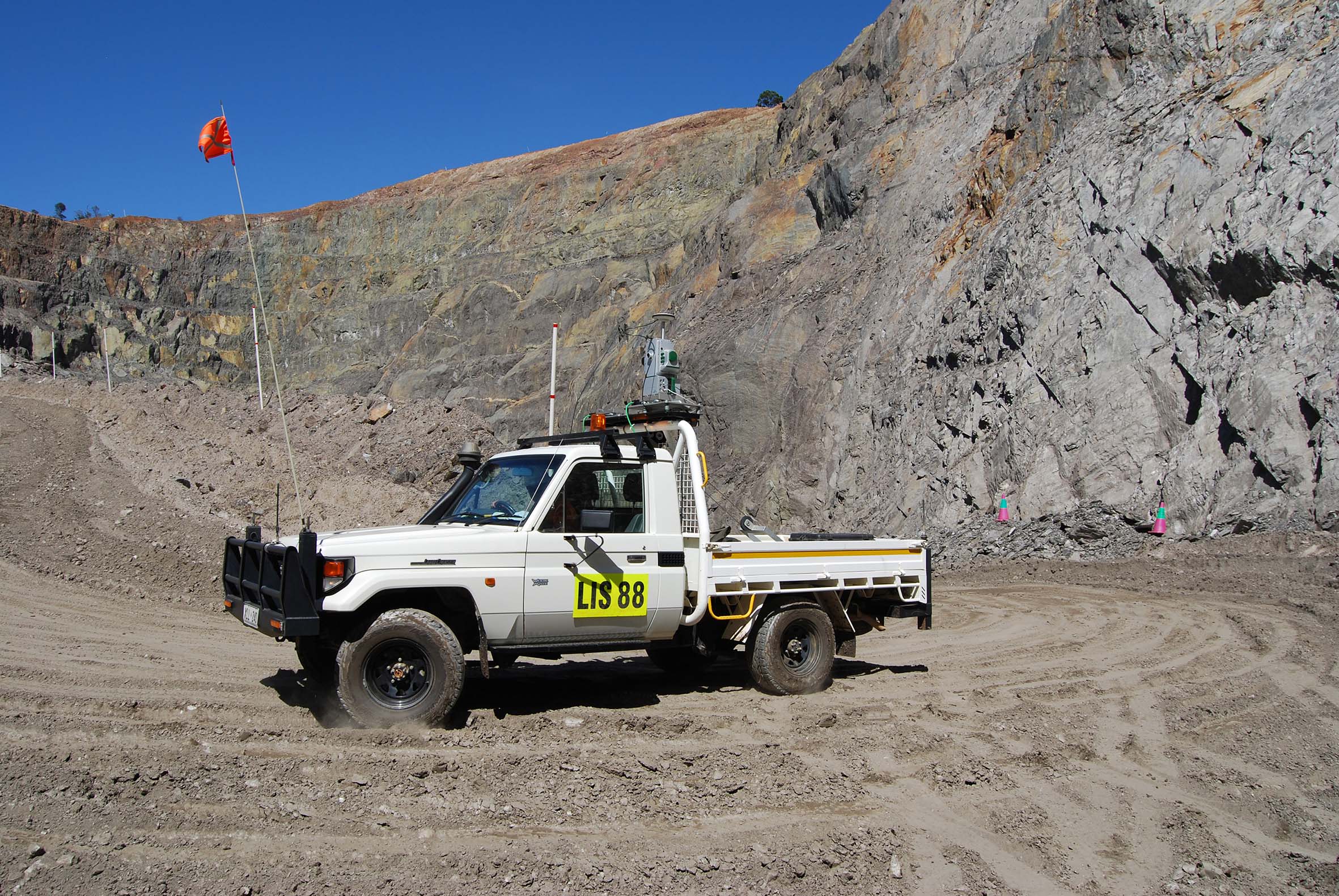
It continuously acquires data with recommended I-Site laser scanner mounted on a moving vehicle, and surveyors can quickly measure stockpiles for reporting and comparing daily or weekly volumes, reducing the time for data collection and minimising interruption to site activities.
The Inertial Navigation System (INS) installation in the custom vehicle mount is the key to survey efficiency. It allows the laser scanner to acquire data continuously and automatically assigns real world coordinates to the data, ready for processing.
“Faster data collection, reduced risk to operators and shorter processing time are key benefits of I-Site Drive,” says Athy Kalatzis, manager of Laser Imaging Systems.
“Accurate stockpile reconciliation is easy using I-Site Drive. The same laser scanner handles stockpile volumes, road and pit surveys, pit updates, face mapping and silo volumetrics.”
Stockpiles are currently measured by driving around the perimeter with a vehicle-mounted GPS. Volumes are then extrapolated by projecting the angle of the GPS string from the base, explained Kalatzis.
“I-Site Drive links the laser scanner directly with GPS to generate the stockpile profile as it is circumnavigated. The volume is accurately calculated without estimating or inferring from unknown points.”


